AvioScout - Mission Moving Map System
MFD | Mission Moving Map System | Navigation
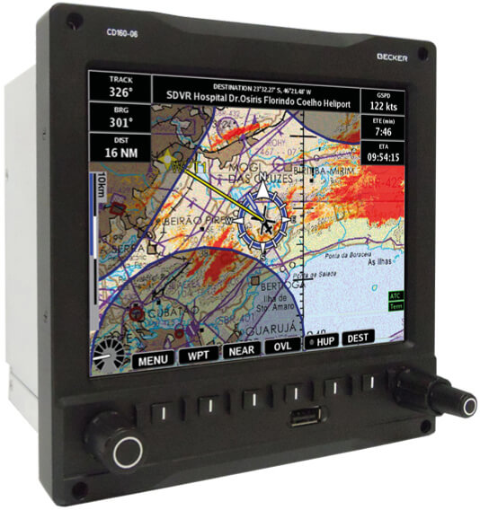
Cost-efficient navigation and mission management system fitted with a user-centric moving map software and a high-speed Irridium data link capability. Ideally suited for first responders, law enforcement crews and other special mission applications.
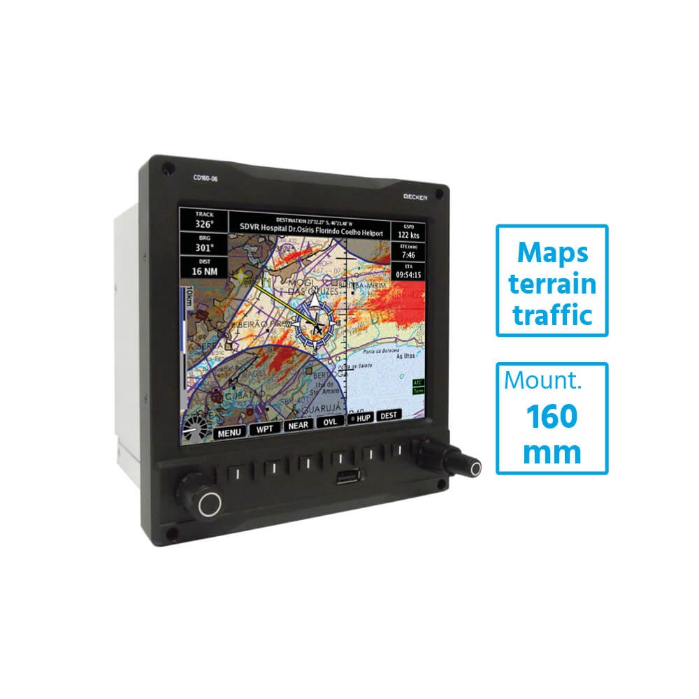
The AvioScout Mission Moving Map is an affordable multi-function mission management system for law enforcement, public safety, search and rescue, and ISR users. The AvioScout Mission is a self-contained, rugged, panel mount system with a built-in high precision GPS/GLONASS receiver. The system integrates a variety of ATC, airport and street maps with user selectable overlays such as terrain and obstacle, camera image with line of sight and field of view, traffic (TCAS, ADS-B, FLARM), and Direction Finder bearing. The AvioScout Mission increases your situational awareness, improves safety and quickly helps you convey position and target information.
Features
- Built-in high precision GPS
- GLONASS receiver
- Traffic Overlays (TCAS, ADS-B, FLARM)
- Terrain and obstacle data
- Camera imagery with line of sight and field of view
- Iridium connectivity
- Flight tracking with two-way text
- Suited for law enforcement, public safety, search and rescue, and ISR users
- ETSO C113 approval and DO-178 level D and DO-160 qualification
Benefits
- Affordable multi-function mission management system
- Cost effective Command and Control
- Compact and lightweight design
- Field-proven reliability
- obust and maintenance-free hardware


